Full-Service Fuels Treatment
Every acre tells a story, and BurnBot provides comprehensive solutions to ensure your landscape's next chapter is one of resilience and sustainability. Our innovative approach combines advanced technology with ecological stewardship to deliver effective, scalable fuels treatment.
Scale wildfire fuel mitigation with cutting edge technology
Our RX2 tool box of technologies and practices creates an ecosystem that can scale and flex to handle any project big or small.
Remote-operated Mastication for any landscape
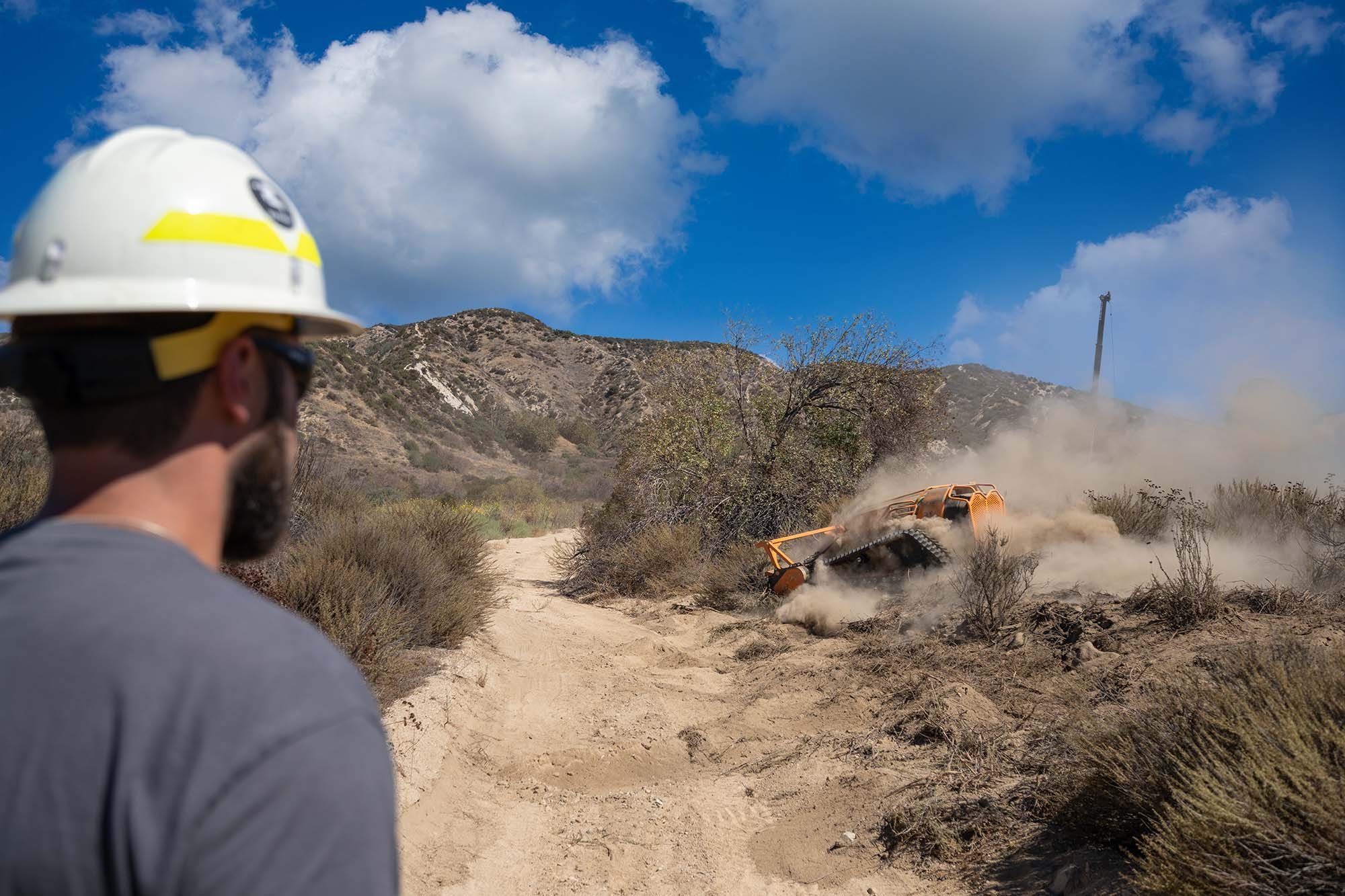
Our Fleet of Unmanned Forestry Masticators can handle any fuel mitigation project big or small.
Able to reach areas traditional masticators can’t, our lightweight machine is operated from up to 500 feet away, sporting a 61 inch cutting head for high volume treatment on slopes up to 60 degrees.
Brush removal and thinning
Defensible space
Fuel Breaks
Fire breaks
Burn prep
Blackberry removal
Fuel breaks
Wildfire operations
Pre-commercial thinning
Match the treatment plan to the job
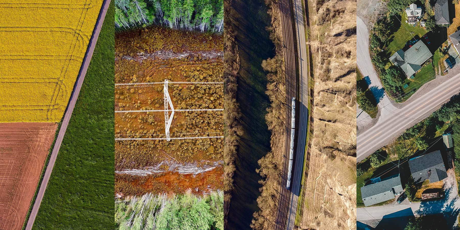
We bring the best in fuels management technology in our integrated RX2 system, and offer safe, ecological and precise vegetation management services.
Safe and Specific Aerial Ignition
A safer and cost effective way to conduct prescribed fire and wildfire ignitions operations, the Ignis UAS system can safely burn up to 2000 acres a day. BurnBot’s drone technicians can safely execute both small and large scale firing operations with precision, efficiency, and higher safety margins than traditional helicopter PSD missions.
Prescribed fire ignitions
Wildfire burn operations
Vegetation clearance
Fire/Fuelbreak creation
Mapping and overwatch
Reconnaissance missions
Protecting communities and natural resources
Introducing the RX2 Safe & Clean Blackline
Our newest BurnBot, the RX2, integrates ignition, containment, smoke management, and mop-up in a continuous sequence.
Safe, clean, and cost-effective—the RX2 does prescribed burns in most weather or terrain.
Expert technicians, precise technology,
a new methodology
Our teams are able to quickly deploy with technology to amplify and complement the capacity of existing fire management programs.
Our LeanRX system addresses complexities and limitations of traditional fuel management. We're able to manage high volume vegetation in a multitude of terrains and fuel types.
